Water management close to the sea level
Introduction
The photograph on this page of Water management close to the sea level by Neil Owen as part of the Geograph project.
The Geograph project started in 2005 with the aim of publishing, organising and preserving representative images for every square kilometre of Great Britain, Ireland and the Isle of Man.

There are currently over 7.5m images from over 14,400 individuals and you can help contribute to the project by visiting https://www.geograph.org.uk
Water management close to the sea level
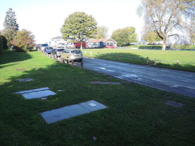
Image: © Neil Owen Taken: 26 Oct 2022
Part of the sewage treatment and pumping system lies very close to the seafront at Portishead. Fortunately it is all underground here at Lake Grounds.
Images are licensed for reuse under creativecommons.org/licenses/by-sa/2.0
Image Location
Latitude
51.488846
Longitude
-2.774675