Dumbarton Bridge
Introduction
The photograph on this page of Dumbarton Bridge by Richard Sutcliffe as part of the Geograph project.
The Geograph project started in 2005 with the aim of publishing, organising and preserving representative images for every square kilometre of Great Britain, Ireland and the Isle of Man.

There are currently over 7.5m images from over 14,400 individuals and you can help contribute to the project by visiting https://www.geograph.org.uk
Dumbarton Bridge
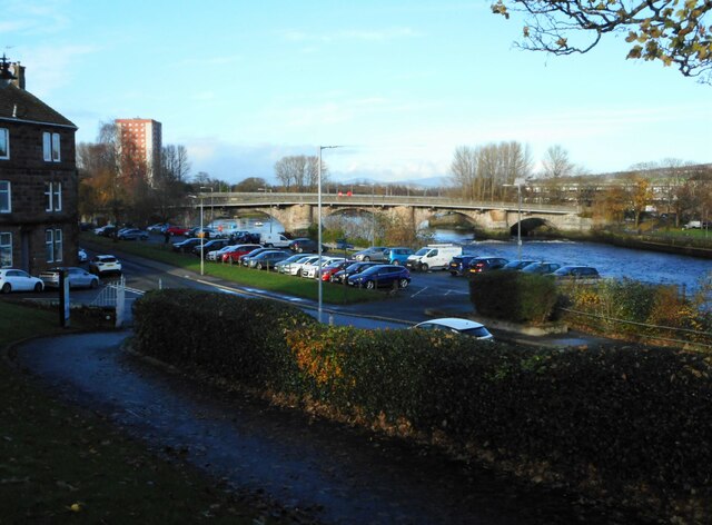
Image: © Richard Sutcliffe Taken: 19 Nov 2022
Seen from Levengrove Park. The lowest crossing point on the River Leven, the bridge was built in 1765 by John Brown of Dumbarton. It was widened in 1884 and was reconstructed in 1934. It is Category B listed http://portal.historicenvironment.scot/designation/LB24879.
Images are licensed for reuse under creativecommons.org/licenses/by-sa/2.0
Image Location
Latitude
55.94376
Longitude
-4.576339