Sign for Buslins Lane
Introduction
The photograph on this page of Sign for Buslins Lane by Peter S as part of the Geograph project.
The Geograph project started in 2005 with the aim of publishing, organising and preserving representative images for every square kilometre of Great Britain, Ireland and the Isle of Man.

There are currently over 7.5m images from over 14,400 individuals and you can help contribute to the project by visiting https://www.geograph.org.uk
Sign for Buslins Lane
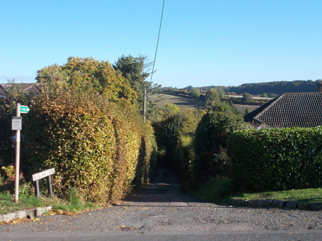
Image: © Peter S Taken: 9 Oct 2022
A public footpath sign indicates a public right of way down a steep hill leading on towards Captain's Wood and Asheridge Bottom.
Images are licensed for reuse under creativecommons.org/licenses/by-sa/2.0
Image Location
Latitude
51.720791
Longitude
-0.637567