West House viewed over the north corner of its boundary wall
Introduction
The photograph on this page of West House viewed over the north corner of its boundary wall by Roger Templeman as part of the Geograph project.
The Geograph project started in 2005 with the aim of publishing, organising and preserving representative images for every square kilometre of Great Britain, Ireland and the Isle of Man.

There are currently over 7.5m images from over 14,400 individuals and you can help contribute to the project by visiting https://www.geograph.org.uk
West House viewed over the north corner of its boundary wall
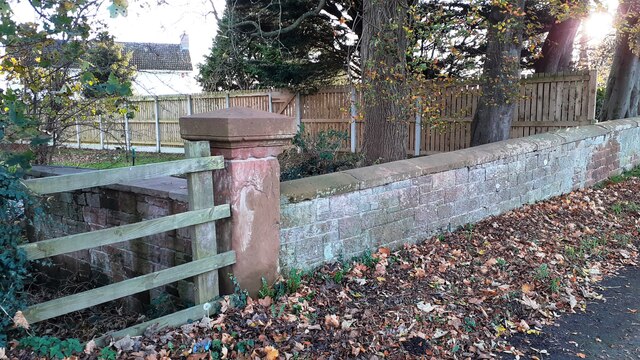
Image: © Roger Templeman Taken: 14 Nov 2022
There is an Ordnance Survey benchmark Image on the corner wall pier on its left hand face, behind the roadside wooden fence
Images are licensed for reuse under creativecommons.org/licenses/by-sa/2.0
Image Location
Latitude
54.925531
Longitude
-2.883442