82, The Street
Introduction
The photograph on this page of 82, The Street by John Baker as part of the Geograph project.
The Geograph project started in 2005 with the aim of publishing, organising and preserving representative images for every square kilometre of Great Britain, Ireland and the Isle of Man.

There are currently over 7.5m images from over 14,400 individuals and you can help contribute to the project by visiting https://www.geograph.org.uk
82, The Street
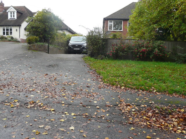
Image: © John Baker Taken: 30 Oct 2022
Planning permission has been approved by Canterbury City Council under application number CA/ 22/00995 for a “two-storey and part single-storey rear and side extension following demolition of the existing side extension and detached garage”. | The extension will be built where the car is parked.
Images are licensed for reuse under creativecommons.org/licenses/by-sa/2.0
Image Location
Latitude
51.216102
Longitude
1.140761