Misty fields near Hunton Bridge
Introduction
The photograph on this page of Misty fields near Hunton Bridge by David Martin as part of the Geograph project.
The Geograph project started in 2005 with the aim of publishing, organising and preserving representative images for every square kilometre of Great Britain, Ireland and the Isle of Man.

There are currently over 7.5m images from over 14,400 individuals and you can help contribute to the project by visiting https://www.geograph.org.uk
Misty fields near Hunton Bridge
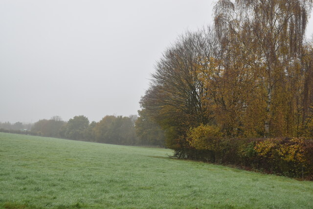
Image: © David Martin Taken: 14 Nov 2022
Sloping farmland enclosed by the M25 and valley of the River Gade.
Images are licensed for reuse under creativecommons.org/licenses/by-sa/2.0
Image Location
Latitude
51.693964
Longitude
-0.439861