View over Ashleworth
Introduction
The photograph on this page of View over Ashleworth by Philip Halling as part of the Geograph project.
The Geograph project started in 2005 with the aim of publishing, organising and preserving representative images for every square kilometre of Great Britain, Ireland and the Isle of Man.

There are currently over 7.5m images from over 14,400 individuals and you can help contribute to the project by visiting https://www.geograph.org.uk
View over Ashleworth
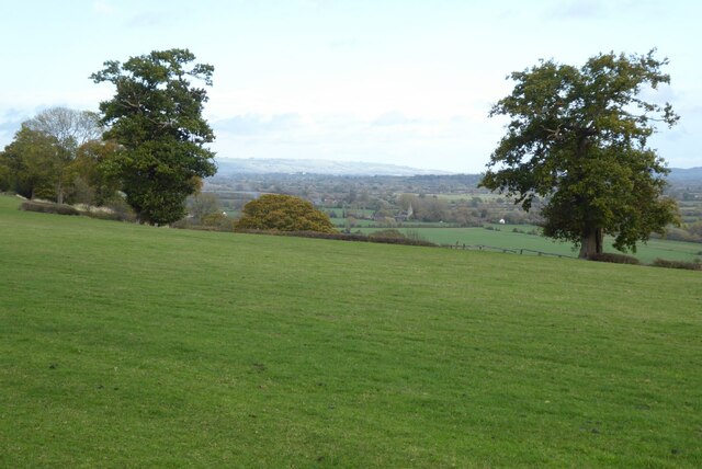
Image: © Philip Halling Taken: 8 Nov 2022
View over Ashleworth, the spire of the church can be seen in the valley. Here it is viewed from Old Over Road near Hartpury.
Images are licensed for reuse under creativecommons.org/licenses/by-sa/2.0
Image Location
Latitude
51.915712
Longitude
-2.285351