Near Bold Gap
Introduction
The photograph on this page of Near Bold Gap by Derek Harper as part of the Geograph project.
The Geograph project started in 2005 with the aim of publishing, organising and preserving representative images for every square kilometre of Great Britain, Ireland and the Isle of Man.

There are currently over 7.5m images from over 14,400 individuals and you can help contribute to the project by visiting https://www.geograph.org.uk
Near Bold Gap
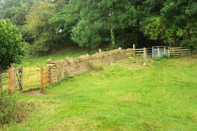
Image: © Derek Harper Taken: 15 Sep 2021
The field boundary is the parish boundary between Weston-sub-edge (this side) and Aston Sub Edge. Weston-sub-edge footpath 26 ends here, where it meets a bridleway. This is Aston Subedge bridleway 9 on the far side of the wall, and Weston-sub-edge bridleway 21#1 on this side. Or perhaps the bridleway stays beyond the wall and climbs through the wood, while the gates are for walkers, who climb steps to the right. I recall being confused. The kissing gate, incidentally, had only been installed a few months before this was taken.
Images are licensed for reuse under creativecommons.org/licenses/by-sa/2.0
Image Location
Latitude
52.059824
Longitude
-1.79634