Field path to Amble
Introduction
The photograph on this page of Field path to Amble by Jim Barton as part of the Geograph project.
The Geograph project started in 2005 with the aim of publishing, organising and preserving representative images for every square kilometre of Great Britain, Ireland and the Isle of Man.

There are currently over 7.5m images from over 14,400 individuals and you can help contribute to the project by visiting https://www.geograph.org.uk
Field path to Amble
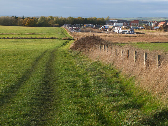
Image: © Jim Barton Taken: 11 Nov 2022
Through fields south of the town, with a new housing development under construction to the right.
Images are licensed for reuse under creativecommons.org/licenses/by-sa/2.0
Image Location
Latitude
55.324445
Longitude
-1.569101