Dicktrod Lane, Skinburness
Introduction
The photograph on this page of Dicktrod Lane, Skinburness by Adrian Taylor as part of the Geograph project.
The Geograph project started in 2005 with the aim of publishing, organising and preserving representative images for every square kilometre of Great Britain, Ireland and the Isle of Man.

There are currently over 7.5m images from over 14,400 individuals and you can help contribute to the project by visiting https://www.geograph.org.uk
Dicktrod Lane, Skinburness
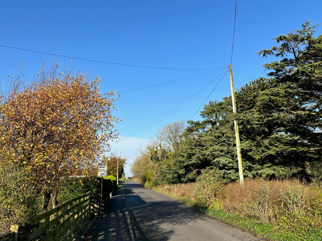
Image: © Adrian Taylor Taken: 13 Nov 2022
Indicated on the sign to be a private road, Dicktrod Lane (Dick Trod Lane on Ordnance Survey Maps) was an established right of way between Skinburness and the shore at Skinburnessbank long before the housing estate it now serves was built.
Images are licensed for reuse under creativecommons.org/licenses/by-sa/2.0
Image Location
Latitude
54.89084
Longitude
-3.362868