Bucks Hill, Chapel End
Introduction
The photograph on this page of Bucks Hill, Chapel End by Stephen McKay as part of the Geograph project.
The Geograph project started in 2005 with the aim of publishing, organising and preserving representative images for every square kilometre of Great Britain, Ireland and the Isle of Man.

There are currently over 7.5m images from over 14,400 individuals and you can help contribute to the project by visiting https://www.geograph.org.uk
Bucks Hill, Chapel End
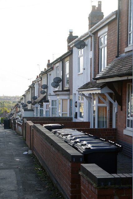
Image: © Stephen McKay Taken: 9 Nov 2022
Looking down along a row of terraced houses from the top of Bucks Hill. Satellite dishes are much in evidence and the house in the foreground appears to have an extraordinary collection of wheely bins.
Images are licensed for reuse under creativecommons.org/licenses/by-sa/2.0
Image Location
Latitude
52.536761
Longitude
-1.518151