Colgrain Bowling Club
Introduction
The photograph on this page of Colgrain Bowling Club by Richard Sutcliffe as part of the Geograph project.
The Geograph project started in 2005 with the aim of publishing, organising and preserving representative images for every square kilometre of Great Britain, Ireland and the Isle of Man.

There are currently over 7.5m images from over 14,400 individuals and you can help contribute to the project by visiting https://www.geograph.org.uk
Colgrain Bowling Club
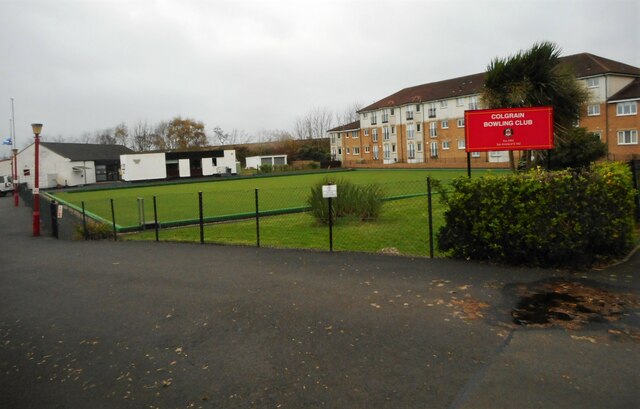
Image: © Richard Sutcliffe Taken: 11 Nov 2022
The bowling club was established in 1951 and has two greens. This one is overlooked by flats on Sunningdale Place.
Images are licensed for reuse under creativecommons.org/licenses/by-sa/2.0
Image Location
Latitude
55.996655
Longitude
-4.712497