44, Naildown Road
Introduction
The photograph on this page of 44, Naildown Road by John Baker as part of the Geograph project.
The Geograph project started in 2005 with the aim of publishing, organising and preserving representative images for every square kilometre of Great Britain, Ireland and the Isle of Man.

There are currently over 7.5m images from over 14,400 individuals and you can help contribute to the project by visiting https://www.geograph.org.uk
44, Naildown Road
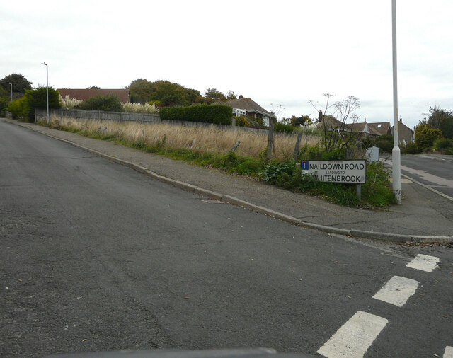
Image: © John Baker Taken: 16 Oct 2022
Planning permission has been approved, with conditions, by Folkestone and Hythe District Council under application number 22/0560/FH for the “demolition of existing dwelling. The erection of an apartment block comprising of four 2-bed apartments with underground parking and the erection of two 3-bed new detached dwellings on southern part of the plot”. Number 44 lies to the right of the furthest lamppost.
Images are licensed for reuse under creativecommons.org/licenses/by-sa/2.0
Image Location
Latitude
51.074527
Longitude
1.11374