The site of Links Halt, Gorleston
Introduction
The photograph on this page of The site of Links Halt, Gorleston by Adrian S Pye as part of the Geograph project.
The Geograph project started in 2005 with the aim of publishing, organising and preserving representative images for every square kilometre of Great Britain, Ireland and the Isle of Man.

There are currently over 7.5m images from over 14,400 individuals and you can help contribute to the project by visiting https://www.geograph.org.uk
The site of Links Halt, Gorleston
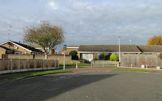
Image: © Adrian S Pye Taken: 10 Nov 2022
The track and the Halt was on an 16 feet (5 metre) high embankment with steps down to ground level, giving the name to the street from where this image is taken. Many are confused by the name Hill Avenue, when the landscape in the area is now so flat.
Images are licensed for reuse under creativecommons.org/licenses/by-sa/2.0
Image Location
Latitude
52.557139
Longitude
1.725669