Stone Stile SX2468a
Introduction
The photograph on this page of Stone Stile SX2468a by Brian Oldham as part of the Geograph project.
The Geograph project started in 2005 with the aim of publishing, organising and preserving representative images for every square kilometre of Great Britain, Ireland and the Isle of Man.

There are currently over 7.5m images from over 14,400 individuals and you can help contribute to the project by visiting https://www.geograph.org.uk
Stone Stile SX2468a
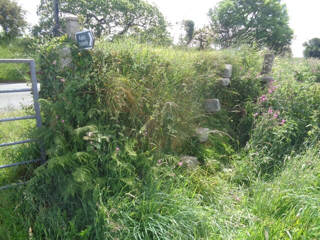
Image: © Brian Oldham Taken: 25 Jun 2021
275m NW of St Cleer Recreation Ground at the start of a track heading W towards King Doniert’s Stone and the B3360. Sheep stile with four protruding stone steps on the east side and five protruding stone steps on the west side, across a high boundary wall giving access to a farm track. Public footpath 624/14/1 gold from St Cleer towards B3360.
Images are licensed for reuse under creativecommons.org/licenses/by-sa/2.0
Image Location
Latitude
50.490279
Longitude
-4.481018