Stone Stile SX2369b
Introduction
The photograph on this page of Stone Stile SX2369b by Jenny Mann as part of the Geograph project.
The Geograph project started in 2005 with the aim of publishing, organising and preserving representative images for every square kilometre of Great Britain, Ireland and the Isle of Man.

There are currently over 7.5m images from over 14,400 individuals and you can help contribute to the project by visiting https://www.geograph.org.uk
Stone Stile SX2369b
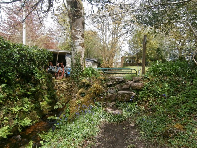
Image: © Jenny Mann Taken: 14 May 2021
South Trekeive. Approximately 25m east of stile SX2369a. Immediately beside the stream, the stile leads from the footpath onto a road. On the west side, two treads and a third one on the ground. Two treads on the eastern side. Height on W side 100cm. Height on E side 80cm. Width 76cm. In good state of repair. Public footpath 624/27/2 Gold from: Draynes Bridge to: South Trekieve.
Images are licensed for reuse under creativecommons.org/licenses/by-sa/2.0
Image Location
Latitude
50.497592
Longitude
-4.489002