Brookside, Church Lane
Introduction
The photograph on this page of Brookside, Church Lane by John Baker as part of the Geograph project.
The Geograph project started in 2005 with the aim of publishing, organising and preserving representative images for every square kilometre of Great Britain, Ireland and the Isle of Man.

There are currently over 7.5m images from over 14,400 individuals and you can help contribute to the project by visiting https://www.geograph.org.uk
Brookside, Church Lane
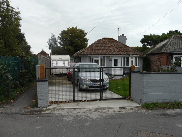
Image: © John Baker Taken: 16 Oct 2022
Planning permission has been approved, with conditions, by Folkestone and Hythe District Council under application number 21/2542/FH for a “change of use from garage to a single holiday accommodation”. The garage was just visible behind the caravan. The bungalow may have been named after Image, which could be described as a brook.
Images are licensed for reuse under creativecommons.org/licenses/by-sa/2.0
Image Location
Latitude
50.984079
Longitude
0.942238