
The gas governor marks the route of the former railway
Introduction
The photograph on this page of The gas governor marks the route of the former railway by Adrian S Pye as part of the Geograph project.
The Geograph project started in 2005 with the aim of publishing, organising and preserving representative images for every square kilometre of Great Britain, Ireland and the Isle of Man.

There are currently over 7.5m images from over 14,400 individuals and you can help contribute to the project by visiting https://www.geograph.org.uk
The gas governor marks the route of the former railway
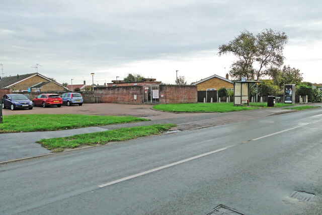
Image: © Adrian S Pye Taken: 27 Oct 2022
The bricked-in gas governor would have been buried beneath the embankment had it been there at the time. The bridge, which was a plate girder construction, spanned Links Road on an embankment which extended to Gorleston Links Halt, 100 yards north of here and beyond. The Halt stood at the southwest end of what is now Hill Avenue, named after the fact there was once an embankment creating the hill. Needless to say all traces of the embankment were removed for the housing development.
Images are licensed for reuse under creativecommons.org/licenses/by-sa/2.0
Image Location

Latitude
52.556422
Longitude
1.725608