242 - 250 Haverstock Hill
Introduction
The photograph on this page of 242 - 250 Haverstock Hill by Ian Capper as part of the Geograph project.
The Geograph project started in 2005 with the aim of publishing, organising and preserving representative images for every square kilometre of Great Britain, Ireland and the Isle of Man.

There are currently over 7.5m images from over 14,400 individuals and you can help contribute to the project by visiting https://www.geograph.org.uk
242 - 250 Haverstock Hill
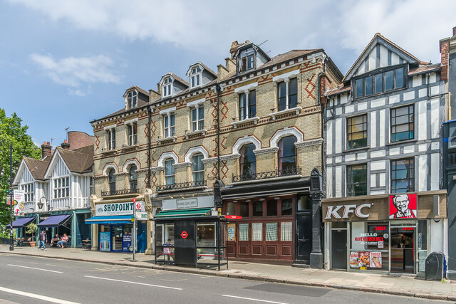
Image: © Ian Capper Taken: 4 Jun 2022
Row of buildings on Haverstock Hill. On the far left is The George, a pub whose "Whatpub" entry states to to be in a 1920s building, but with a pub on the site going back to 1666. The remainder of the row would appear to be late 19th Century, being first marked on the 1895 1:1056 town plan.
Images are licensed for reuse under creativecommons.org/licenses/by-sa/2.0
Image Location
Latitude
51.552201
Longitude
-0.167168