Site of Former Portsmouth-Arundel Canal
Introduction
The photograph on this page of Site of Former Portsmouth-Arundel Canal by Simon Carey as part of the Geograph project.
The Geograph project started in 2005 with the aim of publishing, organising and preserving representative images for every square kilometre of Great Britain, Ireland and the Isle of Man.

There are currently over 7.5m images from over 14,400 individuals and you can help contribute to the project by visiting https://www.geograph.org.uk
Site of Former Portsmouth-Arundel Canal
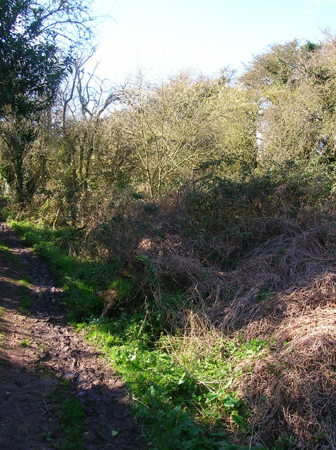
Image: © Simon Carey Taken: 21 Mar 2008
The footpath on the left follows the old towpath whilst the former canal bed is now overgrown with foliage. This part opened in 1821 but was obsolete by 1848 after the opening of the nearby railway.
Images are licensed for reuse under creativecommons.org/licenses/by-sa/2.0
Image Location
Latitude
50.819343
Longitude
-0.602636