Durham Road
Introduction
The photograph on this page of Durham Road by Gerald England as part of the Geograph project.
The Geograph project started in 2005 with the aim of publishing, organising and preserving representative images for every square kilometre of Great Britain, Ireland and the Isle of Man.

There are currently over 7.5m images from over 14,400 individuals and you can help contribute to the project by visiting https://www.geograph.org.uk
Durham Road
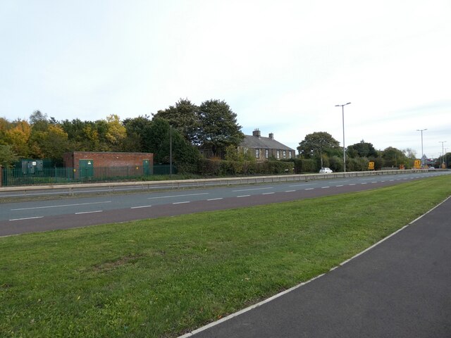
Image: © Gerald England Taken: 16 Oct 2022
The A167 past Betty Pit electricity substation Image Originally this was the A1, Great North Road, until a new A1 was constructed to the west side of the Angel of the North.
Images are licensed for reuse under creativecommons.org/licenses/by-sa/2.0
Image Location


Leaflet Map data © OpenStreetMap
Latitude
54.914296
Longitude
-1.587843