Former Parish Church, Cardross
Introduction
The photograph on this page of Former Parish Church, Cardross by Richard Sutcliffe as part of the Geograph project.
The Geograph project started in 2005 with the aim of publishing, organising and preserving representative images for every square kilometre of Great Britain, Ireland and the Isle of Man.

There are currently over 7.5m images from over 14,400 individuals and you can help contribute to the project by visiting https://www.geograph.org.uk
Former Parish Church, Cardross
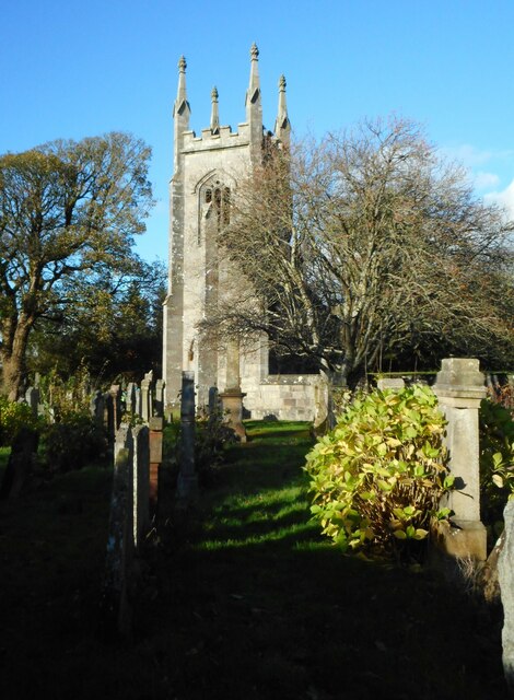
Image: © Richard Sutcliffe Taken: 4 Nov 2022
Only the gothic tower and flanking bays survive of the 1826-7 church. It was bombed in 1941 and the ruin was later preserved as a monument. The graveyard contains some interesting 17th, 18th and 19th century grave monuments. It is Category B listed http://portal.historicenvironment.scot/designation/LB1152.
Images are licensed for reuse under creativecommons.org/licenses/by-sa/2.0
Image Location
Latitude
55.960076
Longitude
-4.646162