Old milestone
Introduction
The photograph on this page of Old milestone by Chris Minto as part of the Geograph project.
The Geograph project started in 2005 with the aim of publishing, organising and preserving representative images for every square kilometre of Great Britain, Ireland and the Isle of Man.

There are currently over 7.5m images from over 14,400 individuals and you can help contribute to the project by visiting https://www.geograph.org.uk
Old milestone
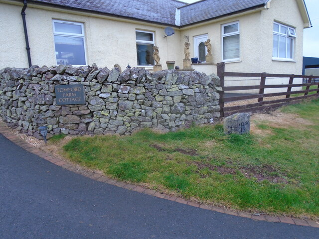
Image: © Chris Minto Taken: 19 Oct 2022
This stone in front of the cottage, with the legends now painted black, was found somewhere by the farmer about 30 years ago. It must have been originally set at about NT763140 on the way to Towford, Nether and Upper Hindhope under Hangingshaw Hill on the old drovers' route.
Images are licensed for reuse under creativecommons.org/licenses/by-sa/2.0
Image Location
Latitude
55.425152
Longitude
-2.383117