Path along the former railway track
Introduction
The photograph on this page of Path along the former railway track by Adrian S Pye as part of the Geograph project.
The Geograph project started in 2005 with the aim of publishing, organising and preserving representative images for every square kilometre of Great Britain, Ireland and the Isle of Man.

There are currently over 7.5m images from over 14,400 individuals and you can help contribute to the project by visiting https://www.geograph.org.uk
Path along the former railway track
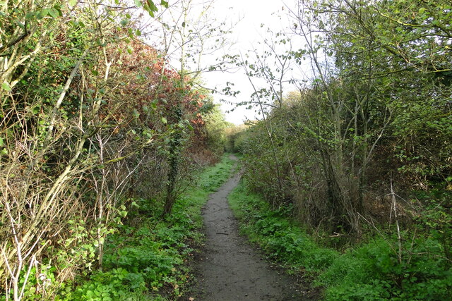
Image: © Adrian S Pye Taken: 15 Oct 2022
The hedges are encroaching onto the pathway which is well-used by dog walkers and locals out for some fresh air. The path is just under 800 yards until reaching the Pleasurewood Hills amusement park bridge and another east/west footpath crossing this one.
Images are licensed for reuse under creativecommons.org/licenses/by-sa/2.0
Image Location
Latitude
52.500336
Longitude
1.748185