Farmland next to Trimpley Lane
Introduction
The photograph on this page of Farmland next to Trimpley Lane by Mat Fascione as part of the Geograph project.
The Geograph project started in 2005 with the aim of publishing, organising and preserving representative images for every square kilometre of Great Britain, Ireland and the Isle of Man.

There are currently over 7.5m images from over 14,400 individuals and you can help contribute to the project by visiting https://www.geograph.org.uk
Farmland next to Trimpley Lane
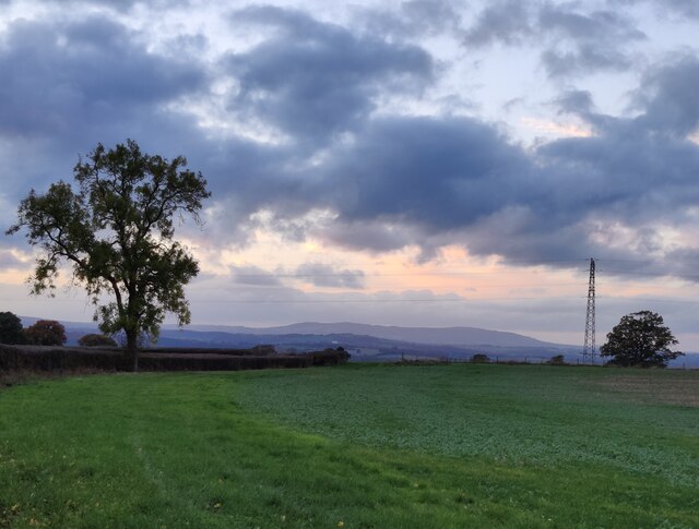
Image: © Mat Fascione Taken: 28 Oct 2022
Brown Clee Hill, 540m (1,770 ft), is about 21km (13 miles), away on the horizon.
Images are licensed for reuse under creativecommons.org/licenses/by-sa/2.0
Image Location


Leaflet Map data © OpenStreetMap
Latitude
52.409225
Longitude
-2.310578