Hawford dovecot
Introduction
The photograph on this page of Hawford dovecot by Richard Greenwood as part of the Geograph project.
The Geograph project started in 2005 with the aim of publishing, organising and preserving representative images for every square kilometre of Great Britain, Ireland and the Isle of Man.

There are currently over 7.5m images from over 14,400 individuals and you can help contribute to the project by visiting https://www.geograph.org.uk
Hawford dovecot
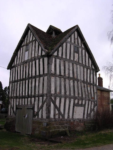
Image: © Richard Greenwood Taken: 11 Feb 2004
Hawford dovecote, a National Trust property, close to the A 449 trunk road, north of Worcester
Images are licensed for reuse under creativecommons.org/licenses/by-sa/2.0
Image Location


Leaflet Map data © OpenStreetMap
Latitude
52.244265
Longitude
-2.226967