Dorney
Introduction
The photograph on this page of Dorney by Ian Capper as part of the Geograph project.
The Geograph project started in 2005 with the aim of publishing, organising and preserving representative images for every square kilometre of Great Britain, Ireland and the Isle of Man.

There are currently over 7.5m images from over 14,400 individuals and you can help contribute to the project by visiting https://www.geograph.org.uk
Dorney
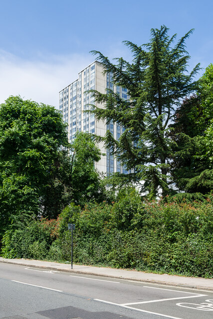
Image: © Ian Capper Taken: 4 Jun 2022
One of a number of similar 23 storey tower blocks in the Chalcots Estate on Adelaide Road, built in 1967 as part of a mixed public/private estate designed by Dennis Lennon & Partners, developing an area that had previously been earmarked for an inner ring road (Ringway 1 - North Cross Route).
Images are licensed for reuse under creativecommons.org/licenses/by-sa/2.0
Image Location
Latitude
51.543929
Longitude
-0.164356