The New River
Introduction
The photograph on this page of The New River by Nigel Mykura as part of the Geograph project.
The Geograph project started in 2005 with the aim of publishing, organising and preserving representative images for every square kilometre of Great Britain, Ireland and the Isle of Man.

There are currently over 7.5m images from over 14,400 individuals and you can help contribute to the project by visiting https://www.geograph.org.uk
The New River
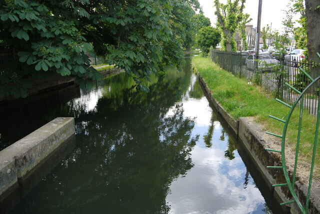
Image: © Nigel Mykura Taken: 7 Jun 2015
This is the New River just after it has gone under Bowes Rd, the A406 and has emerged on the south side adjacent to Russell Rd which can be seen on the right of the picture.
Images are licensed for reuse under creativecommons.org/licenses/by-sa/2.0
Image Location
Latitude
51.611686
Longitude
-0.114973