Housing off Anstey Lane
Introduction
The photograph on this page of Housing off Anstey Lane by Kate Jewell as part of the Geograph project.
The Geograph project started in 2005 with the aim of publishing, organising and preserving representative images for every square kilometre of Great Britain, Ireland and the Isle of Man.

There are currently over 7.5m images from over 14,400 individuals and you can help contribute to the project by visiting https://www.geograph.org.uk
Housing off Anstey Lane
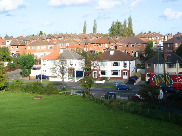
Image: © Kate Jewell Taken: 1 Nov 2005
Photograph taken from Gorse Hill City Farm car park to give an elevated view of the roofscape of this estate. The trees are on the edge of Blackbird Road playing fields which dominate the NW quarter of the featured square. Anstey Lane just clips the square in the foreground.
Images are licensed for reuse under creativecommons.org/licenses/by-sa/2.0
Image Location
Latitude
52.653501
Longitude
-1.157209