The High Street in Belbroughton
Introduction
The photograph on this page of The High Street in Belbroughton by Mat Fascione as part of the Geograph project.
The Geograph project started in 2005 with the aim of publishing, organising and preserving representative images for every square kilometre of Great Britain, Ireland and the Isle of Man.

There are currently over 7.5m images from over 14,400 individuals and you can help contribute to the project by visiting https://www.geograph.org.uk
The High Street in Belbroughton
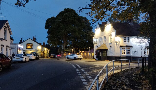
Image: © Mat Fascione Taken: 27 Oct 2022
At the junction with Hartle Lane. On the right is the Talbot public house, with Ye Olde Horseshoe pub on the left.
Images are licensed for reuse under creativecommons.org/licenses/by-sa/2.0
Image Location
Latitude
52.391773
Longitude
-2.118983