Osborne House, Rushlake Green
Introduction
The photograph on this page of Osborne House, Rushlake Green by Simon Carey as part of the Geograph project.
The Geograph project started in 2005 with the aim of publishing, organising and preserving representative images for every square kilometre of Great Britain, Ireland and the Isle of Man.

There are currently over 7.5m images from over 14,400 individuals and you can help contribute to the project by visiting https://www.geograph.org.uk
Osborne House, Rushlake Green
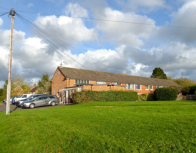
Image: © Simon Carey Taken: 26 Oct 2022
Purpose built retirement complex built in 1965 on the site of the former village school. The green to the right was the site of the former village pond.
Images are licensed for reuse under creativecommons.org/licenses/by-sa/2.0
Image Location
Latitude
50.941106
Longitude
0.314142