Warbleton 21d Public Bridleway
Introduction
The photograph on this page of Warbleton 21d Public Bridleway by Simon Carey as part of the Geograph project.
The Geograph project started in 2005 with the aim of publishing, organising and preserving representative images for every square kilometre of Great Britain, Ireland and the Isle of Man.

There are currently over 7.5m images from over 14,400 individuals and you can help contribute to the project by visiting https://www.geograph.org.uk
Warbleton 21d Public Bridleway
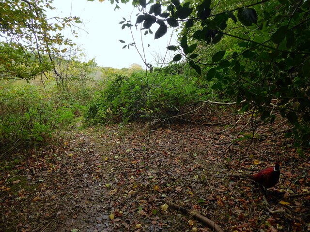
Image: © Simon Carey Taken: 26 Oct 2022
Linking Warbleton Priory with Grovelye Lane. Clive has followed me up the slope from Image and we have reached a gate leading into the next field - is this the end? See Image
Images are licensed for reuse under creativecommons.org/licenses/by-sa/2.0
Image Location
Latitude
50.939291
Longitude
0.337539