Sustrans NCN 4 east of Nantgarw
Introduction
The photograph on this page of Sustrans NCN 4 east of Nantgarw by David Smith as part of the Geograph project.
The Geograph project started in 2005 with the aim of publishing, organising and preserving representative images for every square kilometre of Great Britain, Ireland and the Isle of Man.

There are currently over 7.5m images from over 14,400 individuals and you can help contribute to the project by visiting https://www.geograph.org.uk
Sustrans NCN 4 east of Nantgarw
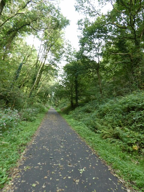
Image: © David Smith Taken: 22 Sep 2022
The OS map here has the unusual entry "Dismantled railways" (railways - plural). This cycle route follows one of the lines, others are to the right of the picture, and another joins this track from the left shortly
Images are licensed for reuse under creativecommons.org/licenses/by-sa/2.0
Image Location
Latitude
51.563345
Longitude
-3.25707