Landslip on the south bank of the Dane
Introduction
The photograph on this page of Landslip on the south bank of the Dane by Stephen Craven as part of the Geograph project.
The Geograph project started in 2005 with the aim of publishing, organising and preserving representative images for every square kilometre of Great Britain, Ireland and the Isle of Man.

There are currently over 7.5m images from over 14,400 individuals and you can help contribute to the project by visiting https://www.geograph.org.uk
Landslip on the south bank of the Dane
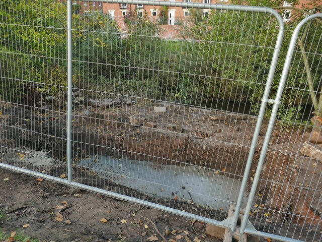
Image: © Stephen Craven Taken: 15 Oct 2022
The cycleway had been closed here due to a localised landslip. Repairs were underway.
Images are licensed for reuse under creativecommons.org/licenses/by-sa/2.0
Image Location
Latitude
53.16627
Longitude
-2.211764