Farmland, St Goran
Introduction
The photograph on this page of Farmland, St Goran by Andrew Smith as part of the Geograph project.
The Geograph project started in 2005 with the aim of publishing, organising and preserving representative images for every square kilometre of Great Britain, Ireland and the Isle of Man.

There are currently over 7.5m images from over 14,400 individuals and you can help contribute to the project by visiting https://www.geograph.org.uk
Farmland, St Goran
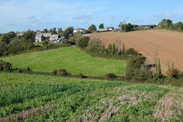
Image: © Andrew Smith Taken: 20 Oct 2022
The hamlet of Rescassa is seen from the footpath north of Treveor.
Images are licensed for reuse under creativecommons.org/licenses/by-sa/2.0
Image Location


Leaflet Map data © OpenStreetMap
Latitude
50.247399
Longitude
-4.828597