Taff Trail on edge of Rhydyfelin
Introduction
The photograph on this page of Taff Trail on edge of Rhydyfelin by David Smith as part of the Geograph project.
The Geograph project started in 2005 with the aim of publishing, organising and preserving representative images for every square kilometre of Great Britain, Ireland and the Isle of Man.

There are currently over 7.5m images from over 14,400 individuals and you can help contribute to the project by visiting https://www.geograph.org.uk
Taff Trail on edge of Rhydyfelin
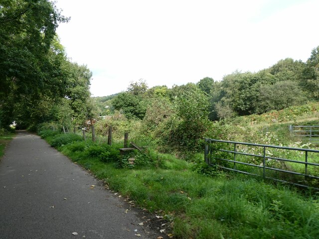
Image: © David Smith Taken: 22 Sep 2022
In the 19th century there was a short track to the right here that led to a colliery; the odd mix of fence and gate is part of the legacy of that branch line
Images are licensed for reuse under creativecommons.org/licenses/by-sa/2.0
Image Location
Latitude
51.585619
Longitude
-3.300699