Holy Cross Farm Haswell viewed from Trig Station on Mawsons Hill
Introduction
The photograph on this page of Holy Cross Farm Haswell viewed from Trig Station on Mawsons Hill by Philip Soakell as part of the Geograph project.
The Geograph project started in 2005 with the aim of publishing, organising and preserving representative images for every square kilometre of Great Britain, Ireland and the Isle of Man.

There are currently over 7.5m images from over 14,400 individuals and you can help contribute to the project by visiting https://www.geograph.org.uk
Holy Cross Farm Haswell viewed from Trig Station on Mawsons Hill
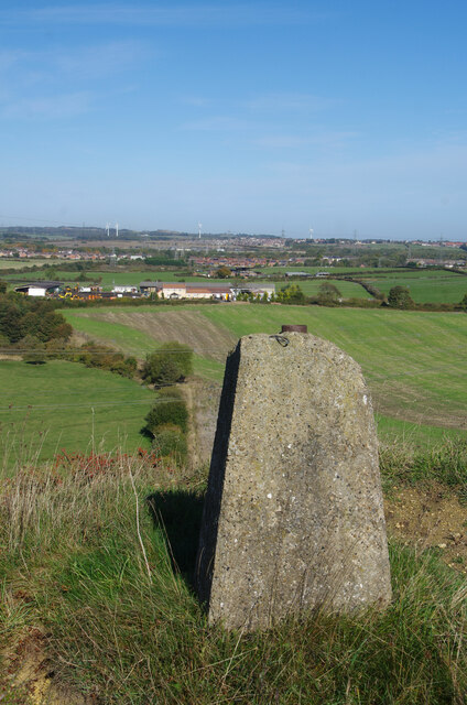
Image: © Philip Soakell Taken: 13 Oct 2022
Holy Cross Farm with Duncombe MoorFarm located directly to the north of it.
Images are licensed for reuse under creativecommons.org/licenses/by-sa/2.0
Image Location
Latitude
54.785908
Longitude
-1.400375