Converted water tower near Burrough Green
Introduction
The photograph on this page of Converted water tower near Burrough Green by John Sutton as part of the Geograph project.
The Geograph project started in 2005 with the aim of publishing, organising and preserving representative images for every square kilometre of Great Britain, Ireland and the Isle of Man.

There are currently over 7.5m images from over 14,400 individuals and you can help contribute to the project by visiting https://www.geograph.org.uk
Converted water tower near Burrough Green
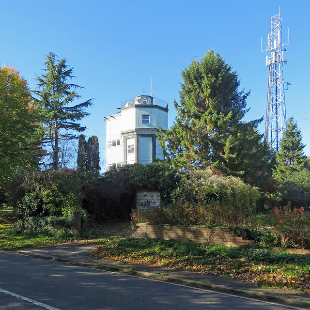
Image: © John Sutton Taken: 18 Oct 2022
A house on the B1061 between Dullingham and Brinkley.
Images are licensed for reuse under creativecommons.org/licenses/by-sa/2.0
Image Location
Latitude
52.1817
Longitude
0.386055