Path between Cromer's Wood and Broadoak Road
Introduction
The photograph on this page of Path between Cromer's Wood and Broadoak Road by pam fray as part of the Geograph project.
The Geograph project started in 2005 with the aim of publishing, organising and preserving representative images for every square kilometre of Great Britain, Ireland and the Isle of Man.

There are currently over 7.5m images from over 14,400 individuals and you can help contribute to the project by visiting https://www.geograph.org.uk
Path between Cromer's Wood and Broadoak Road
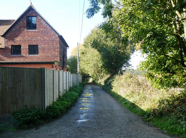
Image: © pam fray Taken: 18 Oct 2022
With Shooting Box Cottage on the left. Cromer's Wood is a 28 hectare ancient semi-natural woodland that sits on the southeast side of a dry slope valley. It was donated by Shell Research Ltd. to Kent Trust for Nature Conservation, now known as Kent Wildlife Trust, in 1996.
Images are licensed for reuse under creativecommons.org/licenses/by-sa/2.0
Image Location
Latitude
51.310891
Longitude
0.732778