Summerland Bungalow
Introduction
The photograph on this page of Summerland Bungalow by Rabbi WP Thinrod as part of the Geograph project.
The Geograph project started in 2005 with the aim of publishing, organising and preserving representative images for every square kilometre of Great Britain, Ireland and the Isle of Man.

There are currently over 7.5m images from over 14,400 individuals and you can help contribute to the project by visiting https://www.geograph.org.uk
Summerland Bungalow
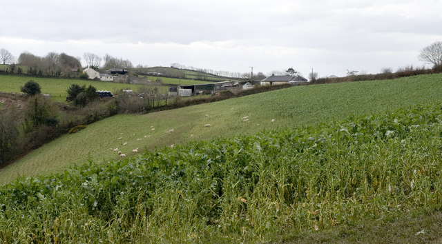
Image: © Rabbi WP Thinrod Taken: 17 Mar 2008
Sheep graze fodder beet below Summerland with Barton Farm in the background.
Images are licensed for reuse under creativecommons.org/licenses/by-sa/2.0
Image Location
Latitude
51.113248
Longitude
-3.953867