Disused lime kiln, Warfleet
Introduction
The photograph on this page of Disused lime kiln, Warfleet by Chris Allen as part of the Geograph project.
The Geograph project started in 2005 with the aim of publishing, organising and preserving representative images for every square kilometre of Great Britain, Ireland and the Isle of Man.

There are currently over 7.5m images from over 14,400 individuals and you can help contribute to the project by visiting https://www.geograph.org.uk
Disused lime kiln, Warfleet
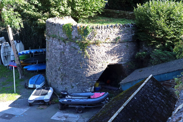
Image: © Chris Allen Taken: 11 Oct 2022
The kiln and associated quay are Listed Grade II. The kiln is probably early to mid-19th century and built from local stone rubble.
Images are licensed for reuse under creativecommons.org/licenses/by-sa/2.0
Image Location
Latitude
50.342326
Longitude
-3.573361