Wenning Lane
Introduction
The photograph on this page of Wenning Lane by Malcolm Neal as part of the Geograph project.
The Geograph project started in 2005 with the aim of publishing, organising and preserving representative images for every square kilometre of Great Britain, Ireland and the Isle of Man.

There are currently over 7.5m images from over 14,400 individuals and you can help contribute to the project by visiting https://www.geograph.org.uk
Wenning Lane
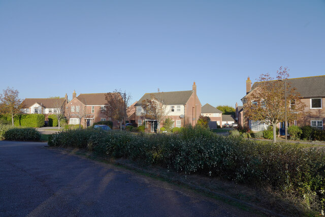
Image: © Malcolm Neal Taken: 16 Oct 2022
Looking from the rugby club car park across to Wenning Lane as we walk to the start of the junior Park Run.
Images are licensed for reuse under creativecommons.org/licenses/by-sa/2.0
Image Location
Latitude
52.005586
Longitude
-0.78016