Hook Road Railway Bridge
Introduction
The photograph on this page of Hook Road Railway Bridge by Brian Westlake as part of the Geograph project.
The Geograph project started in 2005 with the aim of publishing, organising and preserving representative images for every square kilometre of Great Britain, Ireland and the Isle of Man.

There are currently over 7.5m images from over 14,400 individuals and you can help contribute to the project by visiting https://www.geograph.org.uk
Hook Road Railway Bridge
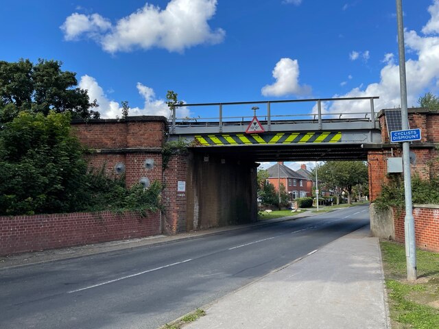
Image: © Brian Westlake Taken: 16 Sep 2022
At trackside level on the left-hand wall and facing away from the camera is possibly an Ordnance Survey flush bracket benchmark 2208. See https://www.bench-marks.org.uk/bm9892 for info on the mark.
Images are licensed for reuse under creativecommons.org/licenses/by-sa/2.0
Image Location
Latitude
53.713099
Longitude
-0.849358