Mareham Lane passing Highfields Country Fishing Retreat
Introduction
The photograph on this page of Mareham Lane passing Highfields Country Fishing Retreat by Tim Heaton as part of the Geograph project.
The Geograph project started in 2005 with the aim of publishing, organising and preserving representative images for every square kilometre of Great Britain, Ireland and the Isle of Man.

There are currently over 7.5m images from over 14,400 individuals and you can help contribute to the project by visiting https://www.geograph.org.uk
Mareham Lane passing Highfields Country Fishing Retreat
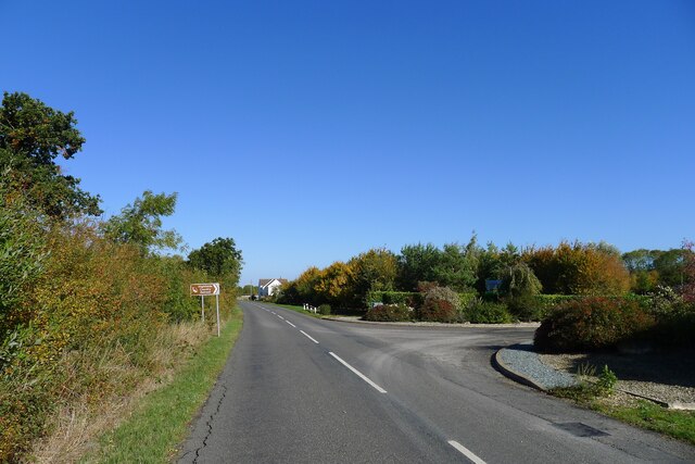
Image: © Tim Heaton Taken: 10 Oct 2022
From this point to its end at Sleaford, 5 miles to the north, Mareham Lane is followed by parish boundaries, a common feature of Roman roads.
Images are licensed for reuse under creativecommons.org/licenses/by-sa/2.0
Image Location
Latitude
52.921594
Longitude
-0.378693