Saltersway entering Threekingham
Introduction
The photograph on this page of Saltersway entering Threekingham by Tim Heaton as part of the Geograph project.
The Geograph project started in 2005 with the aim of publishing, organising and preserving representative images for every square kilometre of Great Britain, Ireland and the Isle of Man.

There are currently over 7.5m images from over 14,400 individuals and you can help contribute to the project by visiting https://www.geograph.org.uk
Saltersway entering Threekingham
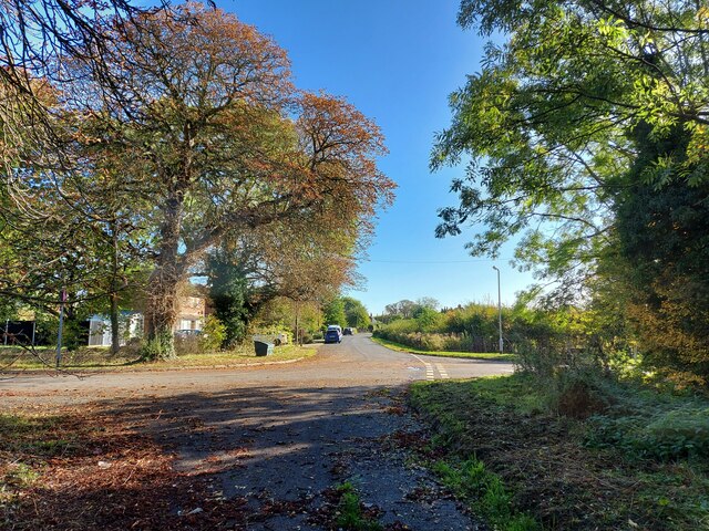
Image: © Tim Heaton Taken: 10 Oct 2022
The original route of the A52 through the village before the bypass was built, and presumably on the line of the Salt Way Roman road. (Note that the street sign says 'Salters Way', but 'Saltersway' appears to be the preferred spelling)
Images are licensed for reuse under creativecommons.org/licenses/by-sa/2.0
Image Location
Latitude
52.913022
Longitude
-0.383028