Washdyke Farm from Billingborough Road
Introduction
The photograph on this page of Washdyke Farm from Billingborough Road by Tim Heaton as part of the Geograph project.
The Geograph project started in 2005 with the aim of publishing, organising and preserving representative images for every square kilometre of Great Britain, Ireland and the Isle of Man.

There are currently over 7.5m images from over 14,400 individuals and you can help contribute to the project by visiting https://www.geograph.org.uk
Washdyke Farm from Billingborough Road
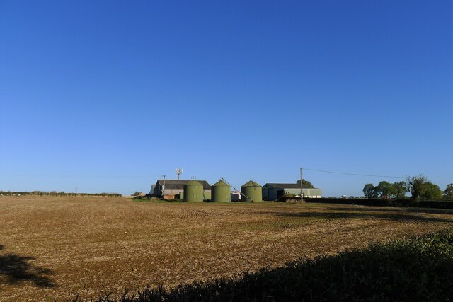
Image: © Tim Heaton Taken: 10 Oct 2022
A limited archaeological investigation was carried out at the farm prior to construction of a grain store, but nothing of note was found https://archaeologydataservice.ac.uk/library/browse/issue.xhtml?recordId=1111651&recordType=GreyLitSeries .
Images are licensed for reuse under creativecommons.org/licenses/by-sa/2.0
Image Location
Latitude
52.891602
Longitude
-0.394528