Fording Machrie Water
Introduction
The photograph on this page of Fording Machrie Water by Jonathan Wilkins as part of the Geograph project.
The Geograph project started in 2005 with the aim of publishing, organising and preserving representative images for every square kilometre of Great Britain, Ireland and the Isle of Man.

There are currently over 7.5m images from over 14,400 individuals and you can help contribute to the project by visiting https://www.geograph.org.uk
Fording Machrie Water
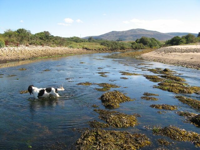
Image: © Jonathan Wilkins Taken: 31 Aug 2022
My assistant is showing the way and indicating water depth. Distant Ard Bheinn looks down over the tranquil river scene.
Images are licensed for reuse under creativecommons.org/licenses/by-sa/2.0
Image Location
Latitude
55.549636
Longitude
-5.341913