Start of Permissive Path at Brompton
Introduction
The photograph on this page of Start of Permissive Path at Brompton by Andrew Abbott as part of the Geograph project.
The Geograph project started in 2005 with the aim of publishing, organising and preserving representative images for every square kilometre of Great Britain, Ireland and the Isle of Man.

There are currently over 7.5m images from over 14,400 individuals and you can help contribute to the project by visiting https://www.geograph.org.uk
Start of Permissive Path at Brompton
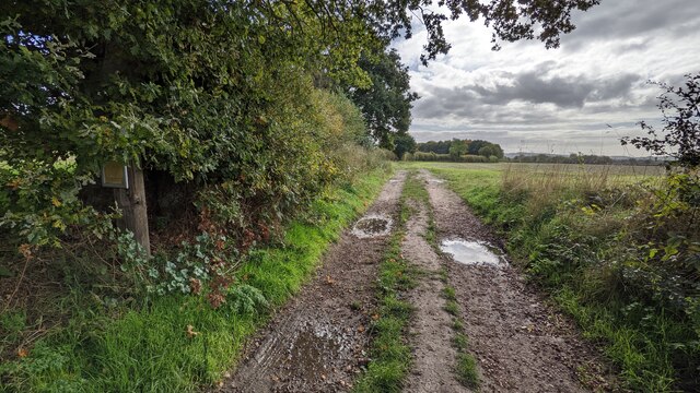
Image: © Andrew Abbott Taken: 11 Oct 2022
The start of a permissive path with a sign by Natural England. The adjacent sign in the overgrowth reads: "This footpath has been permitted under the Environmental Stewardship Higher Level Scheme. The fields grow mainly arable crops and are surrounded by grassy margins, restored hedgerows and native trees. These are all essential features for improving bio-diversity. A wet grassland meadow is being managed for Spring nesting birds and Winter feeding species. There are extensive views of The Wrekin to the North-East and The Shropshire Hills to the south."
Images are licensed for reuse under creativecommons.org/licenses/by-sa/2.0
Image Location
Latitude
52.665462
Longitude
-2.67274