Roughly vegetated ground south of Gillbarffs Wood
Introduction
The photograph on this page of Roughly vegetated ground south of Gillbarffs Wood by Trevor Littlewood as part of the Geograph project.
The Geograph project started in 2005 with the aim of publishing, organising and preserving representative images for every square kilometre of Great Britain, Ireland and the Isle of Man.

There are currently over 7.5m images from over 14,400 individuals and you can help contribute to the project by visiting https://www.geograph.org.uk
Roughly vegetated ground south of Gillbarffs Wood
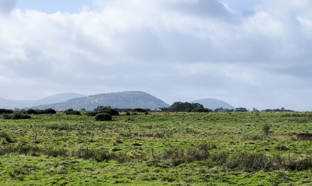
Image: © Trevor Littlewood Taken: 10 Oct 2022
The ground has surely seen some agricultural improvement but at best it can be described only as rough grazing. Great Mell Fell is the domed hill at the centre of the image.
Images are licensed for reuse under creativecommons.org/licenses/by-sa/2.0
Image Location
Latitude
54.653839
Longitude
-2.848552