Mynydd Marian trig point
Introduction
The photograph on this page of Mynydd Marian trig point by Jonathan Wilkins as part of the Geograph project.
The Geograph project started in 2005 with the aim of publishing, organising and preserving representative images for every square kilometre of Great Britain, Ireland and the Isle of Man.

There are currently over 7.5m images from over 14,400 individuals and you can help contribute to the project by visiting https://www.geograph.org.uk
Mynydd Marian trig point
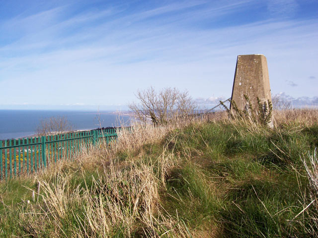
Image: © Jonathan Wilkins Taken: 19 Mar 2008
Sitting in a little fenced enclosure atop the local nature reserve. The elevation is 208m, testifying to the very steep coastal hills.
Images are licensed for reuse under creativecommons.org/licenses/by-sa/2.0
Image Location
Latitude
53.282061
Longitude
-3.66874